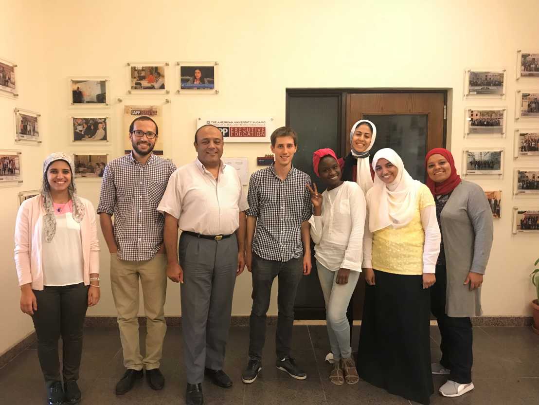
Short Course on Geographical Information System (GIS) methods applied to Research on Conflict and Ethnicity held at the American University in Cairo
Organized jointly by the R4D project and the American University in Cairo (AUC), a three-day class on GIS methods for social science research took place on September 4-6, 2018.

In recent years, Geographical Information System (GIS) has become increasingly important as a tool to conduct social science research. This is because maps enable researchers to convey and summarize information in an effective way. Moreover, GIS methods offer researchers an avenue to combine and analyze information compiled at different spatial resolution from the individual level to the national level. GIS has thus become an integral part of a social scientist’s toolbox.
The short course, the principal objective of which was to give a strong introduction in GIS to graduate students at AUC, was organized in three sessions. The first session introduced attendants to the essential notions of map projections. The second session discussed definitional and conceptual issues related to the representation of geo-coded information using GIS. The third session finally was devoted to a discussion of the various ways through which GIS can be used to contribute to research on ethnicity and conflict. Through practical sessions on the open-source software, external page QGIS, the attendants were able to familiarize themselves with the rudiments of GIS mapping.
The course was attended by graduate students in the Master of Public Policy of the American University in Cairo. The seminar was taught by Fabien Cottier, postdoctoral researcher at the University of Geneva, at the invitation of Prof. Hamid E Ali, Chair of the Department of Public Policy and Administration. Through its commitment to strengthen research in the developing world, the R4D project is holding regular methodological workshops designed for graduate students and junior researchers at partner institutions.
For more information, refer to the .