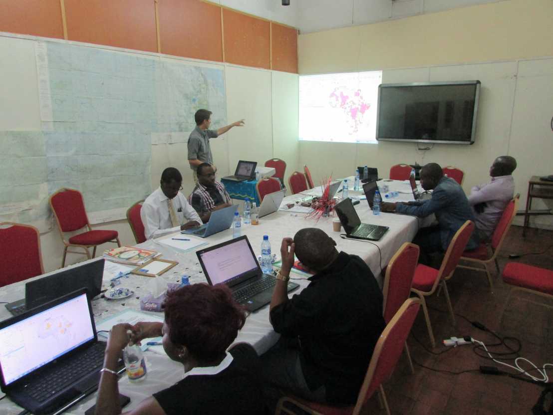
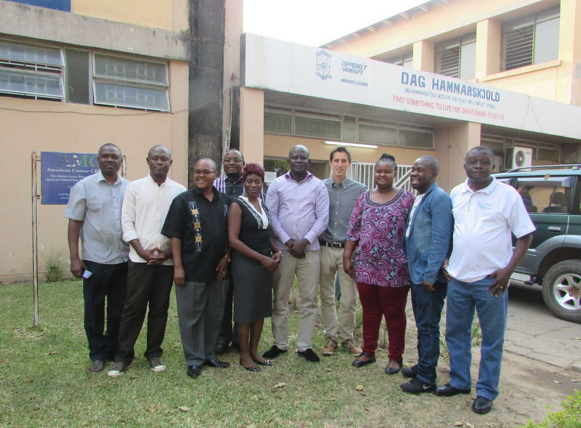
Short course on Geographical Information System (GIS) methods applied to research on conflict and ethnicity held at the Copperbelt University, September 2016
Organized jointly by the R4D project and The Dag Hammarskjöld Institute for Peace and Conflict Studies, a two-day course on GIS methods for social science research took place on September 19th-20th, 2016.

Taught by Fabien Cottier (University of Geneva), the course provided a basic overview of Geographical Information System (GIS). GIS mapping has become ubiquitous in recent social science research, as maps enable researchers to convey and summarize information in an effective way. Moreover, GIS methods allow researchers to use spatially localized data in their analyses.
The course was organized in three sessions. The first session introduced attendants to the essential notions of map projection. The second session discussed definitional and conceptual issues related to the representation of entities and fields in GIS. The third session finally was devoted to a discussion of the various ways through which GIS can be appropriately used to supplement ethnicity and conflict studies. Through practical sessions on the open-source software external page QGIS, the attendants were able to familiarize themselves with the rudiments of GIS mapping.
The course attendants were researchers and master students from the Dag Hammarskjöld Institute for Peace and Conflict Studies of the Copperbelt University and the Center for Democratic Development in Ghana.
For more information, please refer to the .
